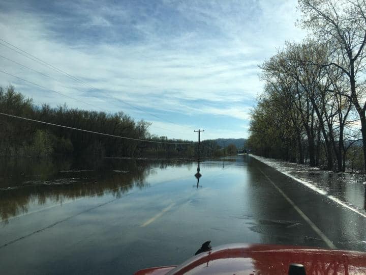
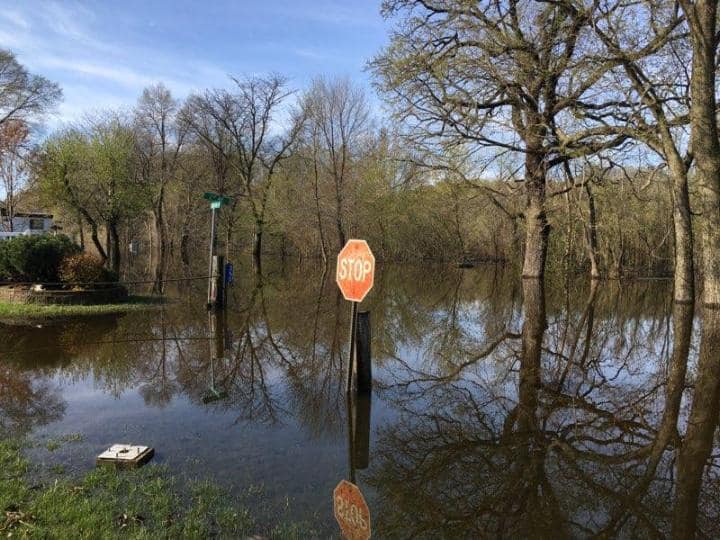
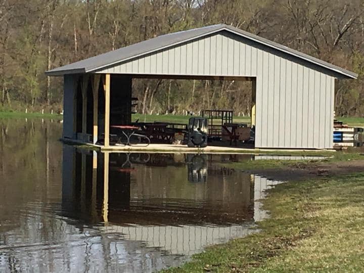
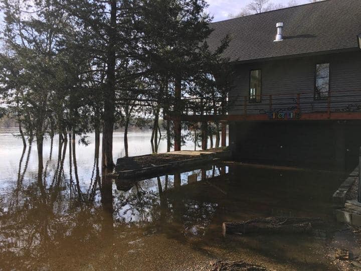
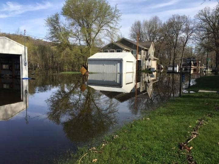
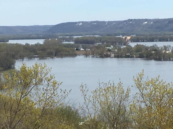
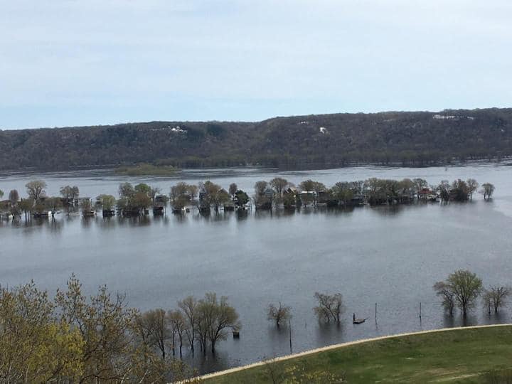
Well, we’ve set a record. Not one we are excited about. Yesterday, we
officially set the 4th highest crest since 1969–19.95ft. The previous historic crest was 19.84 ft on 04/22/1969. The level is slowly lowering, but of course, any further rain and/or snow may affect the rate of the drop.
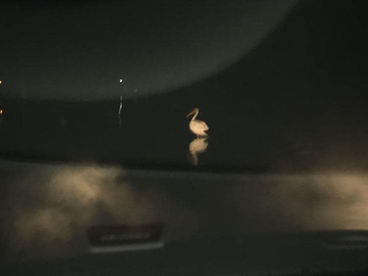
Again, unless you absolutely need to get on/off island, the water is still over the island road until it drops below 19ft. The shoulders will be soft or washed away. Road embargo is still in place, especially in lieu of water over most of Timber Lane Rd and parts of the north end of island. Trying to keep sightseeing to a minimum. Fingers crossed for calmer days ahead! (Photos provided by Eulbergs, Koopmans)
https://water.weather.gov/ahps2/hydrograph.php?wfo=arx&gage=gtti4